
Do you know where these trails are located in southwest Idaho?
It is always fun to stump some of the most seasoned ATV riders to see if they know the location of some of the trails. This section was created not only for those seasoned riders, but for those who are curious as to what some of the southwest Idaho ATV trails look like. To enlarge the photos below, double click on the photos, and click to exit back. Hover your mouse over the photo for some hints and try to guessing where they are. If you give up, scroll down to the bottom of the page for the location key. Have fun trying to guess.
If you want to see these areas yourself, come and ride with us. Become a member of the Boise ATV Trail Riders to see a listing of all the scheduled rides in southwest Idaho for the next year. Visitors are welcome to join us on our rides and attend our meetings for more information about our rides. This is also a good time to discuss the difficulty of the trail and to determine if this ride is appropriate for driver’s ability. See our Trail Difficulty Guide. Also see the Upcoming Events tab on right side of screen for most current rides, events, and meeting.
| A | B | C |
 |
 |
 |
| D | E | F |
 |
 |
 |
| G | H | I |
|
|
|
 |
| J | K | L |
 |
 |
 |
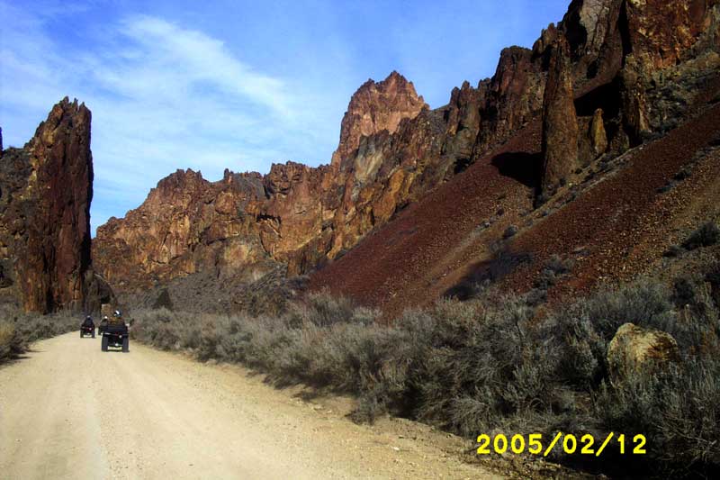
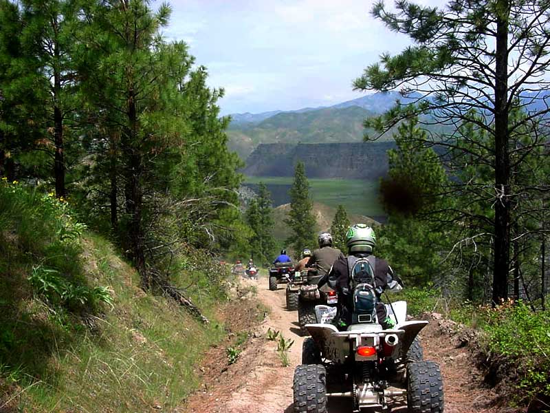
Location Key:A. Miller Mountain – Kirkham Trail System, Lowman, ID. B. Boise Ridge Road – 8th Street Extension, Boise, ID. C. Iron Mountain – Featherville, ID. D. Rabbit Creek – ATV trail near road coming towards parking lot, Idaho City, ID. E. An ATV trail in the fall, Idaho City, ID. F. Sage Hen Trail System – Sage Hen Reservoir, north of Ola, ID. G. Danskin Trail System – between Boise and Mountain Home, ID. H. Sinker Creek – in the Owyhees south of Homedale, ID. I. Leslie Gulch – in the Owyhees near Jordan Valley, OR. J. Snowbank Ridge – southwest of Cascade, near Smiths Ferry, ID. K. Bayhorse Trail System – south of Challis, ID. L. French Creek – near Featherville, ID. |
||

Mystery Trails & Locations